About

The city of Taranto in the hands of its inhabitants

Taranto-Viva.com is an Open Source digital platform dedicated to enhancing, documenting, and promoting the historical, cultural, archaeological, naturalistic, and landscape heritage of the city of Taranto and its surroundings.

The project stems from the belief that knowledge of the territory is a common good and a fundamental tool to encourage participation, awareness, and local development. Through an open and accessible platform, citizens, visitors, researchers, and administrators can explore, understand, and narrate the territory in a new and shared way.
Image
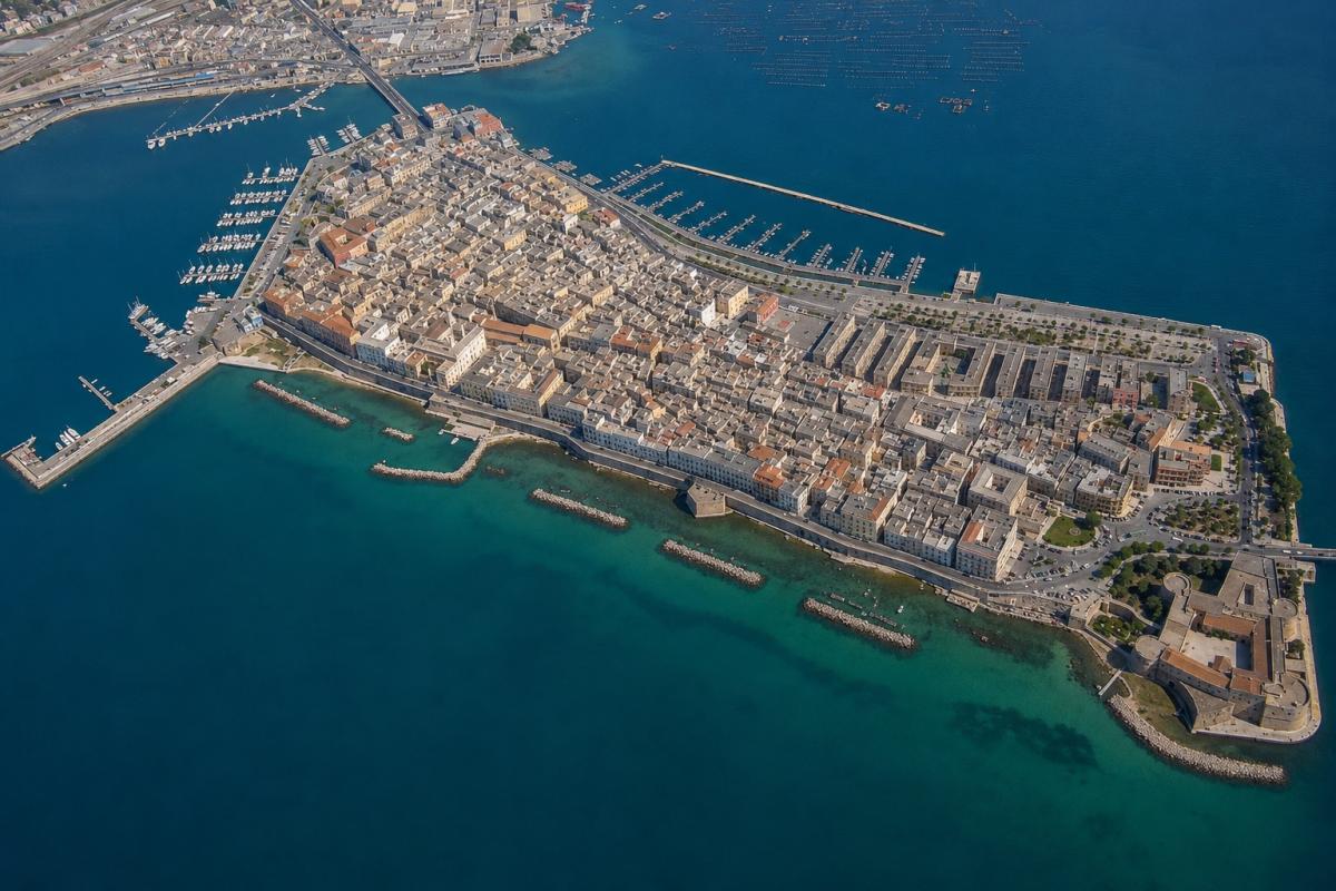
Taranto Vecchia

Photo Credits: Italo Mairo (AI assisted)

A GeoCMS for the territory

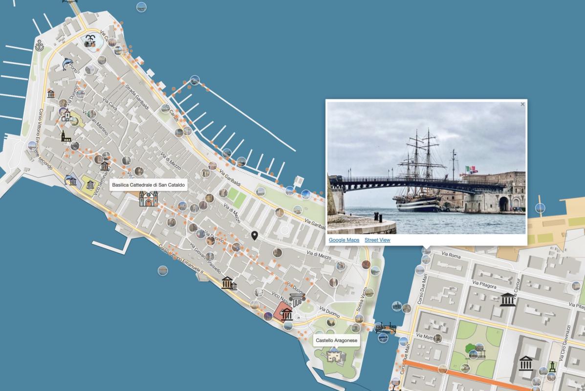
Taranto-Viva.com is developed as an advanced Geographic Content Management System (GeoCMS), where the geographic dimension is at the core of the user experience.

Places, monuments, archaeological sites, neighborhoods, infrastructures, routes, and points of interest are represented through interactive maps, georeferenced content, photographs, and connections between information, offering a dynamic and interconnected view of the city.

The goal is to progressively build a real map of territorial knowledge, capable of narrating Taranto through its geography, history, and cultural identity.

Image
Taranto-Viva Main Map

Image Credits: Taranto-Viva.com

Open Source Web GIS and Artificial Intelligence

The platform is entirely built on Drupal, the Open Source Content Management System considered to be among the most advanced and reliable at an international level.

Thanks to the integration of Web GIS technologies, modern cartographic services, and Artificial Intelligence tools, Taranto-Viva.com is able to organize, connect, and enhance information coming from different sources, transforming it into easily accessible and explorable knowledge.

Artificial Intelligence does not replace human contribution, but supports and amplifies it, favoring the construction of a more rich and up-to-date territorial knowledge base.

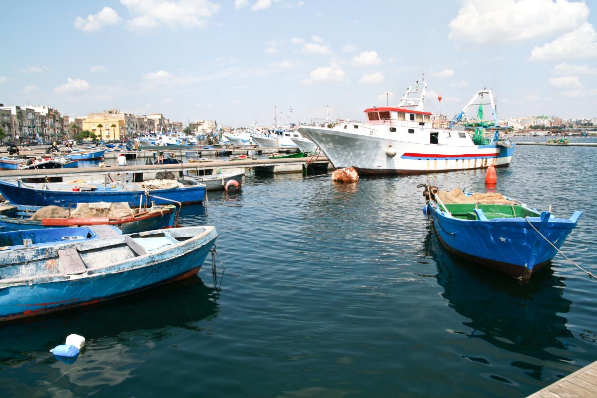
Image
Pescherecci Taranto - Via Garibaldi

Photo Credits: Italo Mairo

What does the platform offer

Taranto-Viva.com already provides advanced tools for exploring and discovering the area:

  • Interactive maps with thematic information layers;
  • Georeferenced points of interest that can be viewed on the map;
  • Descriptive cards dedicated to monuments, historical buildings, museums, churches, natural areas, and tourist attractions;
  • Geolocated photo galleries;
  • Territorial routes and itineraries;
  • Geographic search and navigation of content;
  • Integration with territorial data and external cartographic services.
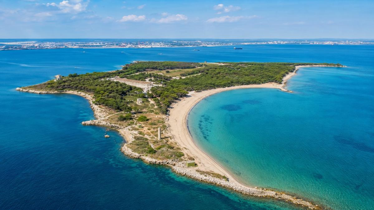
Image
Isola di San Pietro - Taranto

Photo Credits: Italo Mairo (AI Assisted)

An open and continually evolving project

Taranto-Viva.com is an independent project, developed with a long-term vision and open to contributions from citizens, associations, institutions, schools, universities, and cultural operators.

The goal is to build over time a more comprehensive, participatory, and intelligent digital ecosystem, capable of becoming a reference point for the knowledge, enhancement, and promotion of the territory of Taranto.

Every place tells a story. Taranto-Viva.com was created to make it more visible, accessible, and connected to the other stories that make up the living identity of the city.

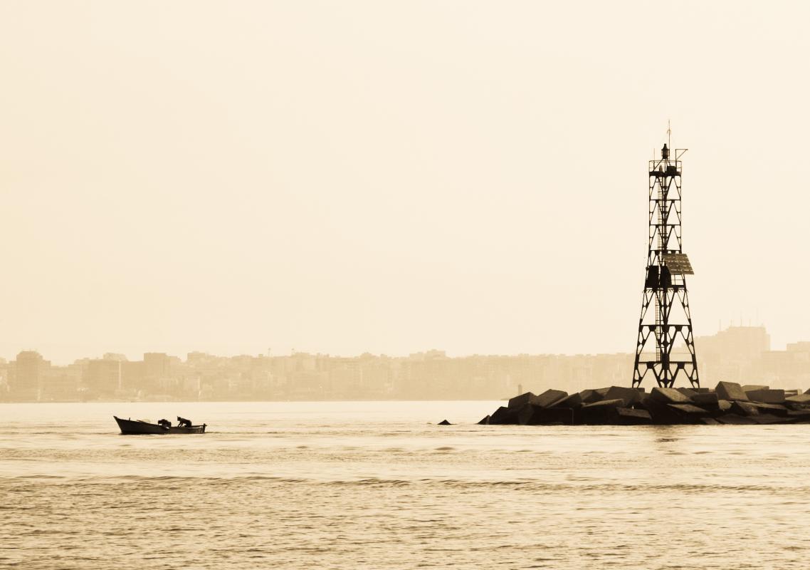
Image
Pescatori alla Tarantola - Taranto

Photo Credits: Italo Mairo

A city to rediscover

Taranto is a city rich in historical layers – Greek, Roman, medieval, modern – that coexist in a territory of extraordinary geographical and cultural complexity. Taranto-Viva.com aims to be a dynamic tool to rediscover this wealth, support conscious tourism, and contribute to the collective memory of the territory.

The project is constantly evolving: new places, new images, and new features are gradually added, thanks to the community's contributions and the efforts of the development team.

Image
Gabbiano - Mar Grande - Taranto

Photo Credits: Italo Mairo